
Oct 24, 10:01 AM
Spring Inundation: Australia's Infrastructure Confronts Unseasonal Deluges
As heavy rainfall sweeps across five states, recurring weather patterns continue to test public readiness.
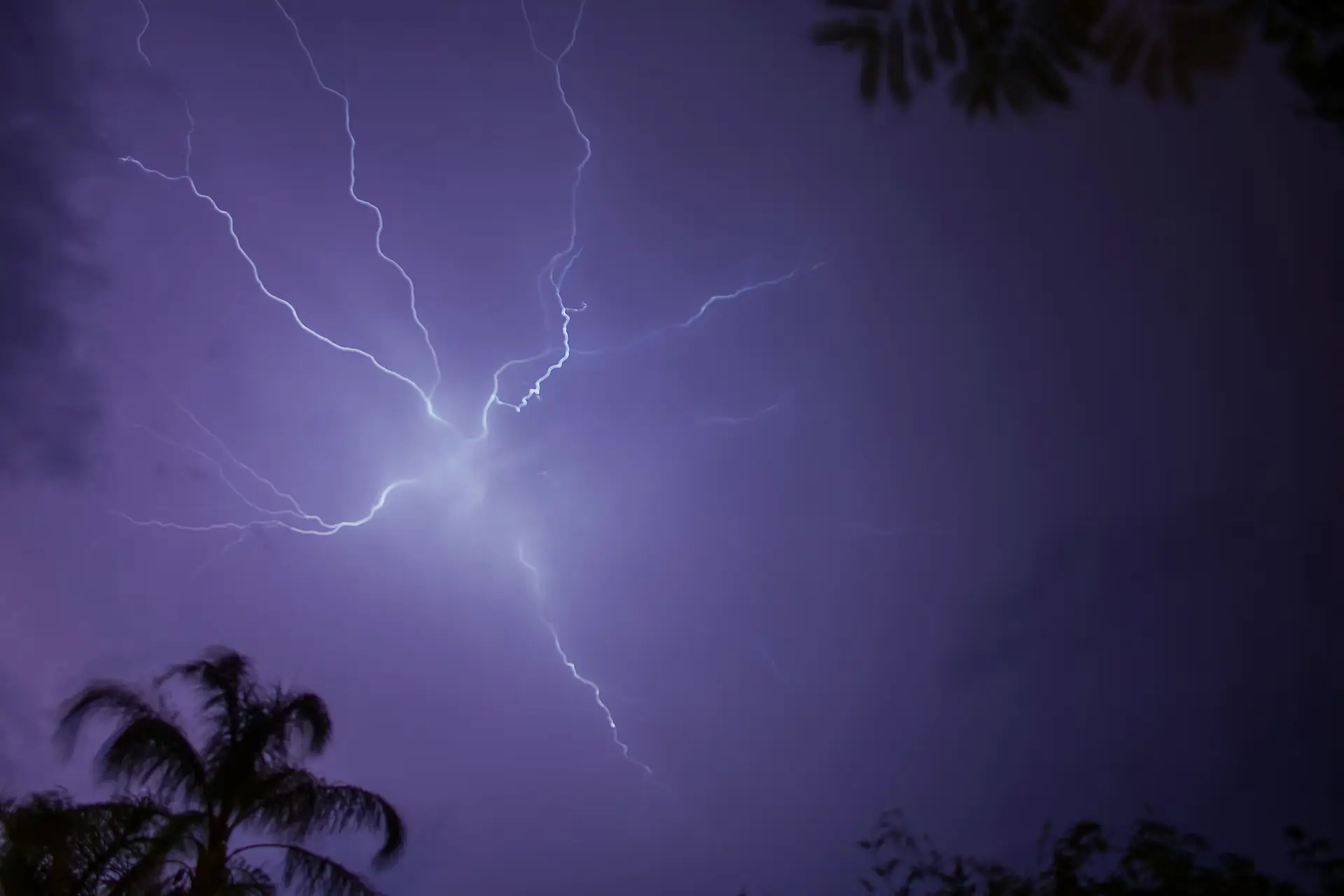
When October begins to masquerade as the height of summer, emergency services in eastern Australia know precisely what to expect. Yet the sheer geographic reach of the latest atmospheric display suggests that nature operates on a scale that routinely outpaces civic planning.
The Bureau of Meteorology has placed a vast swath of the continent on notice. Severe thunderstorms, flash flooding, and heavy rain are predicted to sweep across South Australia, Victoria, New South Wales, Tasmania, and Queensland over the weekend. A persistent cold front moving eastward ensures that major urban centres—including Sydney, Melbourne, and Brisbane—will contend with severe weather threats just as regional areas brace for further inundation.
For Queensland, this weekend's forecast is less a new development than an unwelcome second act. Following a week where rainfall totals surpassed twice the monthly October average in mere days, the state is already saturated. Areas such as Caboolture and the Sunshine Coast hinterlands recorded seven-day totals between 300 and 400 millimetres, with peak measurements reaching 450 millimetres. Torrential downpours stretching south toward the Border Ranges delivered isolated falls well exceeding 200 millimetres on Thursday alone.
The immediate consequences were as disruptive as they were familiar. Hundreds of calls for assistance flooded the State Emergency Service, forcing multiple school closures on Friday. Emergency crews performed more than 16 swift-water rescues, including retrieving an elderly man from the roof of his submerged vehicle in Caboolture. With nine active flood warnings still in place for southern Queensland by Saturday morning, regional drainage capacity has reached its limit.
What makes this weather event notable is both its unseasonal timing and its extraordinary persistence. Moisture from the north has fed a continuous sequence of storms more typical of mid-summer deluges in January or February than mid-spring. As the cold front pushes into western New South Wales and north-eastern Victoria before bearing down on the eastern capitals, the question shifts from meteorology to state readiness.
When heavy rainfall routinely turns suburban streets into waterways and forces emergency workers into rubber dinghies, one must ask how effectively infrastructure accounts for known volatility. Australia's climate has never been particularly gentle, but the recurring spectacle of systemic disruption raises uncomfortable questions about long-term adaptation. As the skies open across five states, the true cost of these predictable surprises will once again be counted in emergency response bills and ruined property.
Written by Andreas Hofer andreas.hofer@alpineweekly.com