
Oct 17, 10:03 PM
The Illusion of Safety at 100 Metres
Planning regulations validated by fire research face an uncomfortable truth as weather conditions grow more hostile.
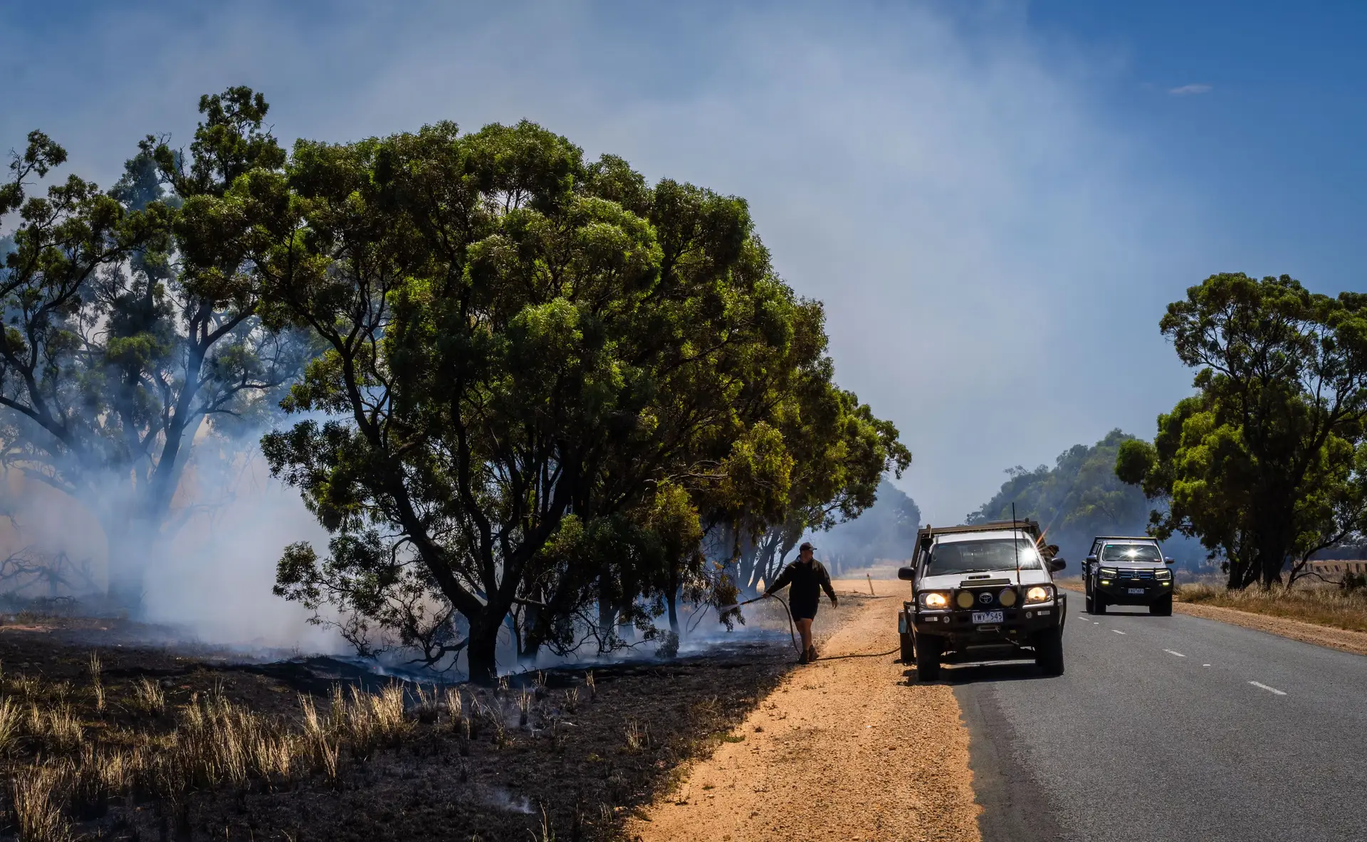
Planning rules have a comforting way of drawing neat lines on maps, but nature rarely respects administrative boundaries. A recent study published in the International Journal of Wildland Fire confirms that 94 percent of the 2,475 homes destroyed in New South Wales during the 2019–2020 Black Summer bushfires sat within 100 metres of flammable vegetation. To risk assessment authorities, this alignment offers reassuring proof that their hazard mapping is mathematically accurate. Yet, viewed through a sharper lens, it raises an uncomfortable question: if the danger zone is so predictable, why are property standards and clearing rules falling short when catastrophic conditions hit?
The research, led by Associate Professor Owen Price at the University of Wollongong, establishes that proximity to trees and dense bushland remains the single most decisive factor in structural loss. The 2019–2020 disaster took 33 lives, displaced or killed nearly three billion native animals, and wiped out more than 3,000 homes across Australia. The current 100-metre threshold serves as the foundation for how the NSW Rural Fire Service conducts community planning and determines structural build standards. That the vast majority of lost structures fell squarely inside this boundary suggests the diagnostic tool works, even if the policy preventive measures failed to keep the flames at bay.
When weather conditions turn extreme, however, even these established benchmarks break down. The Wollongong study analyzed the Forest Fire Danger Index during peak loss days and found that under extreme or catastrophic ratings, houses situated well beyond the 100-metre line began to burn. In densely populated areas, fire does not merely rely on wild vegetation; structure-to-structure ignition becomes a lethal compounding factor. Similar dynamics were observed in international disasters, such as the 2025 Eaton fire in Los Angeles, which claimed 19 lives and damaged thousands of buildings.
At present, New South Wales regulations permit landowners in designated bushfire zones to remove trees within 10 metres of a house and clear understory vegetation within 50 metres. Officials from the NSW Rural Fire Service contend that existing policies held up reasonably well under unprecedented stress, but acknowledge that ongoing reviews must account for how quickly fuels dry out and the rise of extreme pyroconvective fires.
With heightened bushfire risks already reported in northern New South Wales, the central west, and the far south coast following heavy rainfall, authorities are warning of a challenging season ahead. As landscape drying accelerates, relying on historical buffer lines to shield suburban developments may prove to be an exercise in official wishful thinking.
Written by Thorben Thiede thorben.thiede@alpineweekly.com