Nov 3, 5:00 PM
Hiking Route Between Schwyz and Zurich Highlights Regional History and Conservation
The trail from Wollerau to Hütten features historic industrial structures, national nature reserves, and former battlefield sites.
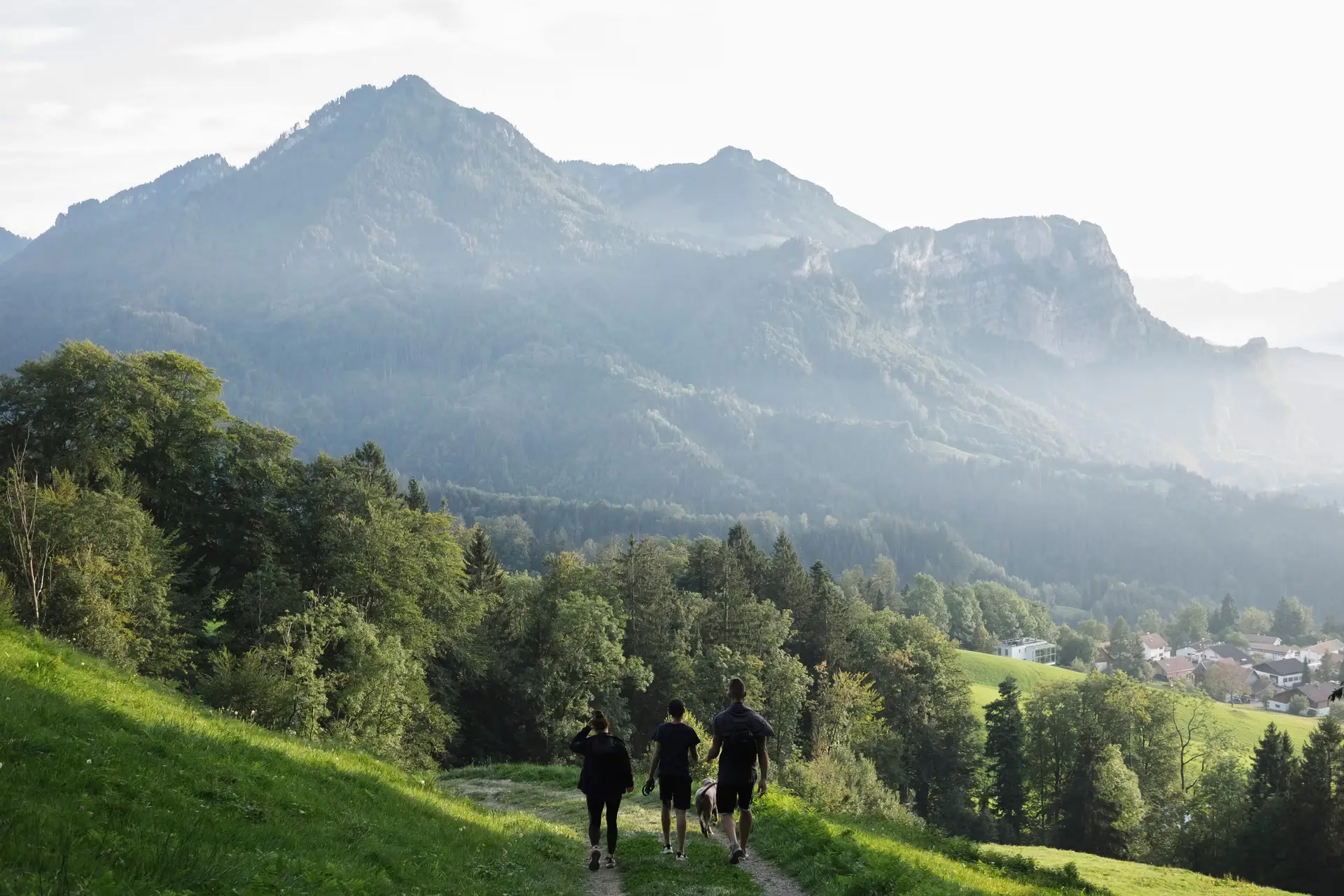
A regional hiking trail connecting the municipality of Wollerau in Canton Schwyz with Hütten in Canton Zurich traces a historically significant border area shaped by industrial history, environmental protection measures, and military conflict. The path covers a varied terrain across the cantonal line, extending from lowland settlement areas towards the moraine landscape surrounding the Hüttnersee.
Starting near the Wollerau railway station, the route passes the Erlenmoos leisure facility before reaching the Freyenweijer, also known as the Itlimoosweiher. The body of water is not natural; it was artificially constructed in 1887 by Gebrüder Frey AG to supply water power to a local dye works via the Krebsbach stream. Following the expiration of the original reservoir contract in 1995, the municipality of Wollerau preserved the area, which now forms part of a moorland reserve of national importance.
Further along the trail toward the Zurich border lies the Neumühle site. Originally built in the late 15th century as the Lölismühle, the facility was destroyed by fires in 1656 and 1851 before being reconstructed in 1854. Local efforts by the Scheiweiler family and the Alte Garde Wollerau association led to the restoration of its operational water wheel. The structure measures over eight metres in diameter and weighs approximately 30 tonnes, making it one of the largest operating water wheels in Europe. A historic boundary stone marking the frontier between Schwyz and Zurich stands adjacent to the mill.
The trail continues through Samstagern in the municipality of Richterswil toward the Hüttnersee, situated at an altitude of 658 metres within a glacial moraine landscape. The lake and its immediate surroundings received protected status in 1945. Due to long-term nutrient pollution from surrounding agricultural activities, local environmental management has required artificial aeration of the lake since 1983.
The border terrain along the route holds historical significance dating back to the Toggenburg War of 1712, also known as the Second War of Villmergen. During the conflict between the Protestant cantons of Zurich and Bern and the Catholic cantons of Central Switzerland, Schwyzer forces established defensive positions in the Itlimoos area, constructing an earthen redoubt equipped with five cannons aimed at Zurich fortifications. The route terminates in Hütten, now part of the municipality of Wädenswil, where regional postal bus links connect travellers to the railway hub at Wädenswil station for onward transport to Zurich, Pfäffikon, and Chur.
Written by Sandy van Dongen sandy.vandongen@alpineweekly.com