Oct 19, 6:01 AM
Managing Mountain Meltdowns with Swiss Precision and AI
ETH Zurich tests radar drones over retreating glaciers, betting that algorithms and private wealth can predict mountain collapses.
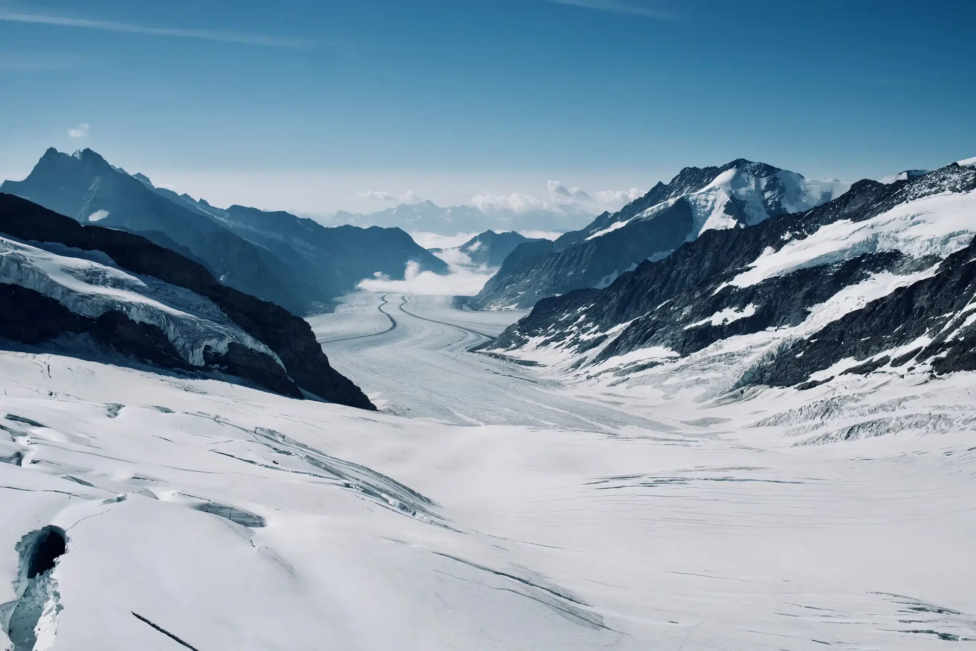
When a mountain decides to collapse, human bureaucracy generally prefers to be notified in advance, ideally via a well-formatted digital report. In the Swiss Alps, where melting permafrost is quietly dismantling high-altitude terrain, the response from Zurich’s elite academic establishment is predictably high-tech, meticulous, and lavishly funded. Researchers from ETH Zurich have taken to the Valais skies with radar-equipped drones, seeking to transform chaotic alpine hazards into neat streams of actionable data.
The test site is the Oigschtchummun Glacier, perched above Blatten in the Lötschental. Unlike traditional laser monitoring systems that founder the moment alpine mist rolls in, radar waves slice through cloud cover effortlessly. By scanning the unstable topography, taking a second reading twenty minutes later, and comparing minute shifts in terrain, researchers can detect structural movements on a microscopic scale. It is a classic demonstration of Swiss engineering: where nature threatens disruption, rich academic institutions deploy electromagnetic precision.
Behind this aerial surveillance lies the Swiss GeoLab, an ETH research center operating out of Root in Lucerne. Fueled primarily by private foundation money alongside infrastructure support from the canton, the facility aims to establish itself as a national hub for earth observation. The strategy relies on a layered technological hierarchy: space-borne satellites monitor vast alpine swaths to flag structural anomalies, while drones are dispatched into narrow valleys and steep rock faces to gather granular detail or drop physical sensors directly into the scree.
The ultimate goal, as articulated by Swiss GeoLab managing director Felix Seidel, is to provide the right person with the right data in the right format at the right time so they can make a decision. To achieve this, mountains of raw measurement data will be funneled into artificial intelligence models designed to predict rockfalls, forest fires, and floods before they materialize.
There is an enviable, almost innocent optimism in this approach. Blessed with world-class technical universities, a booming economy, and abundant capital, Switzerland possesses the rare luxury of trying to algorithmically control mountain slopes. Yet one can reasonably ask whether sending automated updates to a local official will truly halt the grand, slow-motion crumbling of the Alps. The radar drones will continue their routine flights across scree slopes and retreating glaciers in the coming months, meticulously recording every millimeter of shift. The data will be immaculate, even if the mountain falls anyway.
Written by Freya Stensrud freya.stensrud@alpineweekly.com