Nov 7, 5:01 AM
Early Polar Vortex Weakening Signals Increased Risk of Winter Cold Spells
Meteorologists observe an unprecedented November stratospheric disruption that could bring Arctic temperatures to Europe, Asia, and North America.
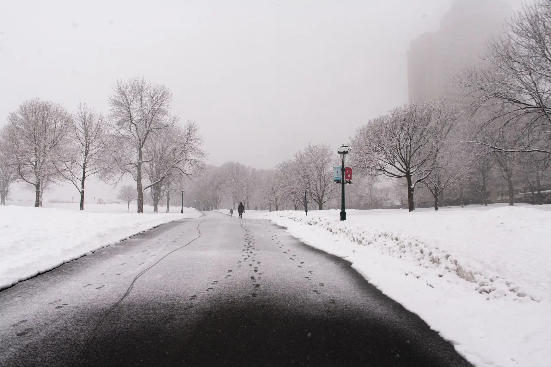
Meteorologists have recorded an unprecedented early weakening of the polar vortex in November 2026, creating potential conditions for cold spells across the Northern Hemisphere. The shift in atmospheric circulation above the Arctic could bring lower temperatures to regions including northern and central Europe, North America, and Asia in the coming weeks.
Specific areas that could experience lower-than-average temperatures include Germany, Poland, Scandinavia, and the British Isles. Andrew Charlton-Perez, a professor of meteorology at the University of Reading, stated in a commentary published by the institution that scientists had never recorded a sudden stratospheric warming so early in the season.
Under typical seasonal patterns, the polar vortex strengthens throughout autumn and reaches peak intensity around January before gradually weakening towards the end of winter. Major atmospheric disruptions that push Arctic air southward typically occur between January and March, making an event in early November unprecedented in modern meteorological records.
The polar vortex operates as a large low-pressure zone containing extremely cold air situated in the stratosphere high above the Arctic. When this circulation weakens or becomes displaced from its usual position, the underlying jet stream can distort, permitting cold polar air masses to descend into lower latitudes.
Effects from high-altitude stratospheric warming typically require several weeks to influence the lower atmospheric layers where daily weather systems form. Researchers are currently evaluating the influence of a strong El Niño pattern developing in the Pacific Ocean, which can disturb atmospheric circulation. Scientists are also assessing atmospheric processes related to broader climate patterns, though no direct link to this specific event has been established.
Meteorologists are continuing to track high-altitude temperature measurements and wind patterns to determine how the vortex disruption will evolve. Observations over the coming weeks will indicate whether the stratospheric disturbance will produce significant changes in ground-level winter weather across the Northern Hemisphere.
Written by Andreas Hofer andreas.hofer@alpineweekly.com