
Oct 31, 9:00 AM
A Violent Front Sweeps Australia’s East Coast
Four capital cities face severe weather warnings as a cold front brings 125km/h winds and flood risks.
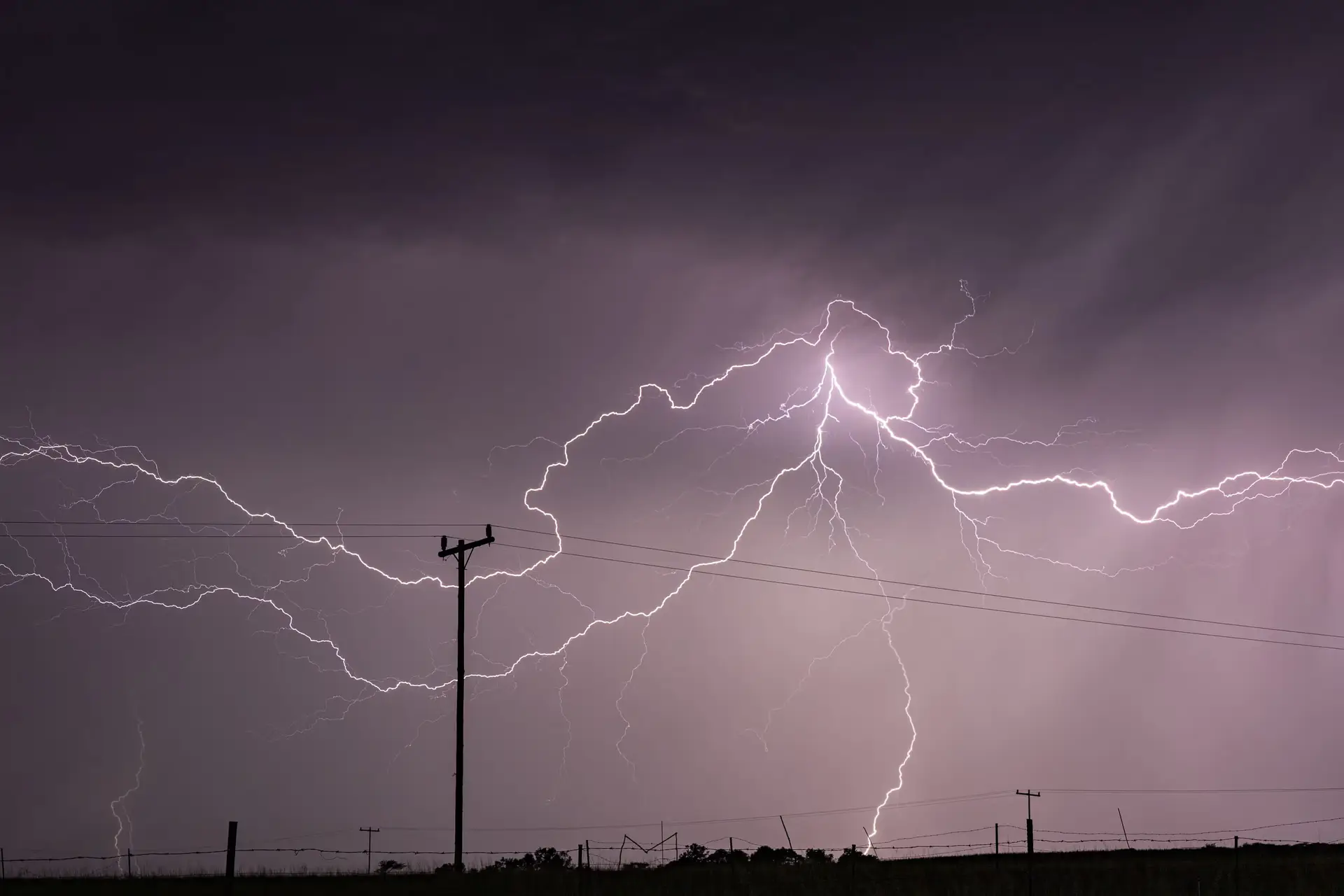
Nature rarely pays attention to urban schedules, and Australia's eastern seaboard is currently getting a sharp lesson in atmospheric volatility. A cold front colliding with warm, humid air is marching across the country's population core, placing four capital cities on notice for destructive winds, hail, and flash flooding.
The weekend began on Saturday morning with Melbourne and wider Victoria recording moderate rainfall and sporadic lightning. Yet the Bureau of Meteorology made clear that this was merely the prelude. A far more aggressive storm band followed into the afternoon, bringing acute risks to Melbourne, Gippsland, the north-eastern ranges, and north-central Victoria. High-altitude areas in northern Victoria and southern New South Wales had already clocked wind gusts exceeding 100km/h by Saturday morning, setting the stage for what meteorologist Angus Hines warned could pack a punch.
As the system sweeps further east and north into Saturday evening, the hazard zone expands dramatically. Inland New South Wales, the Illawarra, and Wollongong face mid-to-late afternoon storm activity, with the turmoil reaching the east coast by nightfall. The primary concern is not merely routine rain, but destructive wind gusts topping 125km/h—force enough to bring down mature trees and damage homes—alongside large hailstones and localized deluges.
By Sunday, the focus of this weather system shifts northward. A broad stretch of coastline from Newcastle, north of Sydney, up to Gympie on Queensland’s Sunshine Coast falls into the risk zone. Brisbane is slated for heavy rainfall and active afternoon thunderstorms, while regions such as the New South Wales mid-north coast, the northern rivers, and the Hunter face the brunt of potential flash flooding.
For communities already coping with heightened rainfall over the past fortnight, the prospect of additional downpours presents an immediate practical hazard. Saturated ground leaves little capacity for absorption, significantly multiplying the risk of sudden inundations. As Hines noted, residents across the affected zones will need to monitor radar readouts closely throughout the weekend.
Whether regional infrastructure holds up against gale-force gusts will be tested over the coming hours. For now, millions of citizens across Victoria, New South Wales, and Queensland are left doing what they usually do when volatile weather rolls in: securing property, monitoring official warnings, and waiting out the storm.
Written by Freya Stensrud freya.stensrud@alpineweekly.com