
Sep 21, 10:01 AM
Battered Coasts and Eerie Calms
While Japan prepares for a revived Typhoon Dujuan, the Atlantic sets a historic record for unseasonable tranquility.
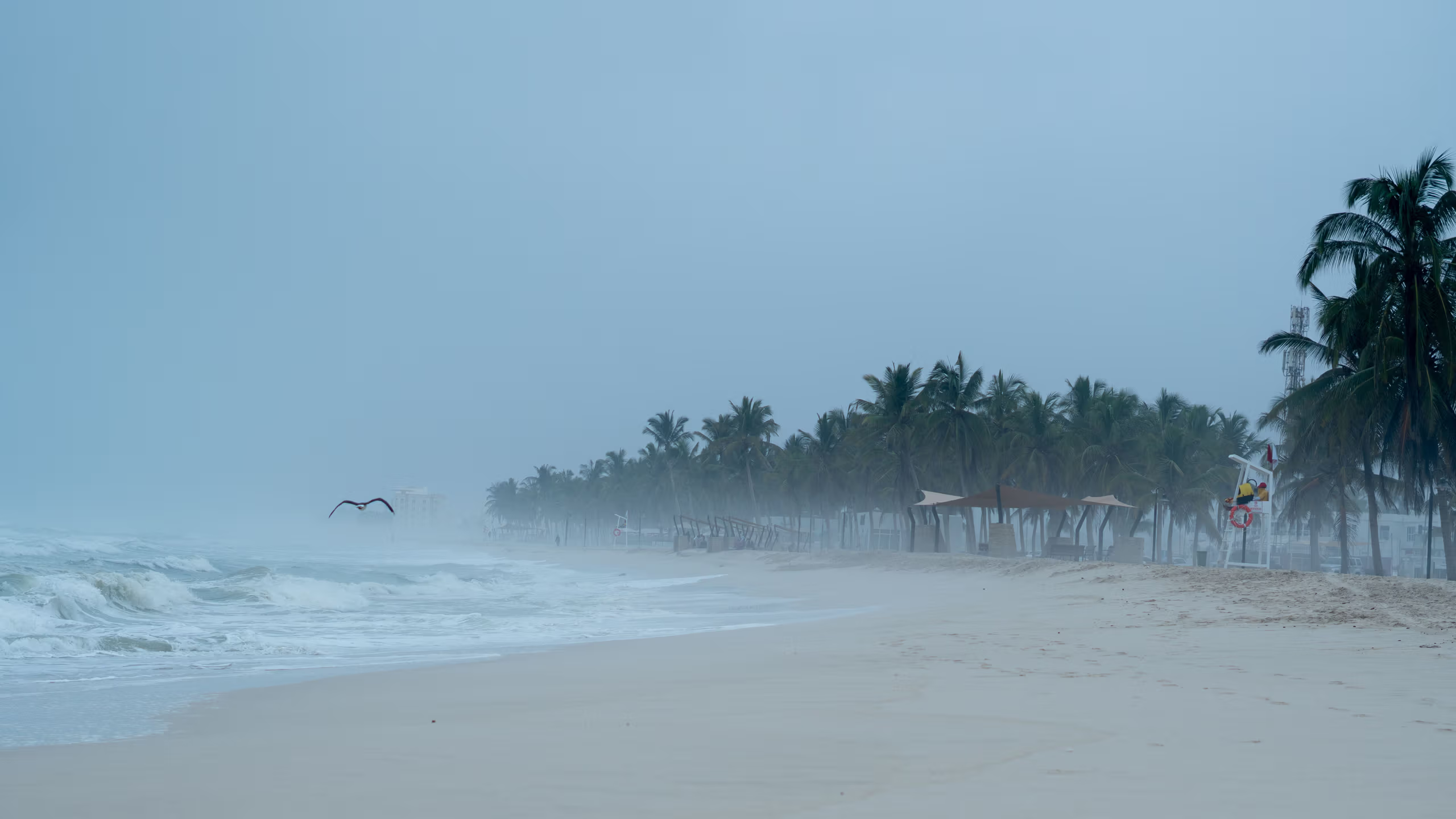
Nature has a persistent habit of mocking human demands for predictable patterns. In the Pacific, coastal communities are bracing for a renewed violent assault, while across the globe in the Atlantic, an unprecedented quiet prevails. Atmospheric machinery continues to operate entirely on its own terms, blithely indifferent to seasonal expectations.
In East Asia, Tropical Storm Dujuan is refusing to fade quietly. Having temporarily lost its typhoon classification on Sunday morning following a brief period at peak intensity on Friday, meteorologists expect the system to restrengthen back into a full typhoon by Tuesday morning. Sustained winds are projected to reach 80mph, with gusts approaching 100mph. Although mainland Japan avoids a direct hit, the storm’s trajectory carries it across the Izu Islands, where evacuation warnings, flood alerts, and landslide risks are already active.
The sheer volume of water accompanying Dujuan remains the primary threat. Southern coastal stretches of the Chubu and Kanto regions could see up to 200mm of rain within 24 hours—a deluge roughly equivalent to the entire monthly average for September. The Tokyo metropolitan area is bracing for nearly 90mm of rain packed into a single six-hour window on Monday evening, while the Izu peninsula faces over 80mm in just three hours. Dujuan is projected to track northeastward before finally dissipating over the northwest Pacific later in the week.
Meanwhile, the Atlantic basin presents a diametrically opposed picture of stagnation. Despite the emergence of Tropical Storm Fay southwest of the Azores over the weekend, the system shows no signs of further intensification. Consequently, this year extends the record for the latest first hurricane to form during an Atlantic season in the satellite era. The previous mark of September 11, established in 2002 by Hurricane Gustav and matched in 2013 by Hurricane Humberto, has officially fallen.
Rounding out this fragmented global display, southwestern Europe is absorbing an unseasonable blast of late-summer heat. Temperatures across Spain and Portugal are rising significantly above monthly norms into the low to mid 30s Celsius. In northwestern Spain, Santiago de Compostela is projected to hit 35C on Tuesday—a remarkable 12C above typical daytime figures. As the warmth drifts toward central Europe later in the week with diminished intensity, Iberia is left with a curious, unearned extra chapter of summer.
Written by Freya Stensrud freya.stensrud@alpineweekly.com


